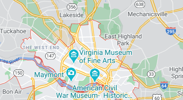
KML stands for Keyhole Markup Language files. These files use XML in order to show geographic data such as locations, image overlays, shapes, lines or even 3D modelling information. They are mostly used by geospatial programs in order to output data in a format that web services and other programs can easily use. Among other things, this format is actually used by the Google Earth service.
How can you open KML files?
The first and most popular way to open these files was Google Earth. There are several other online tools that can open these, as can some other plugins and programs. These files are plain text, so like other files of this type, they can also be opened by text editor programs – in this case, they will, however, only show, for example, a set of coordinates, rather than the map the coordinates point to.
What programs work with KML files?
Google Earth, ArcGIS, Global Mapper, Marble, and Merkaartor are some of the most popular tools to open these files. Some programs that have a Google Earth Importer plug-in (such as Blender) will also work.
Purely for inspection purposes, text editors like Notepad ++ and Editra will also work.


